the long-awaited project
Well, I've been talking about it all term. This project has consumed so much of my time, although it's been really fun to work on, and it has finally reached the state (and the point of the term) when it is ready to be unveilled. As I mentioned in my last post, this will all eventually be on a website, but for now, here it is...
The links should all download as .kmz files, which can be opened in Google Earth, which is available for free on Mac, PC, and Linux. Make sure the terrain is turned on (in the check boxes at the bottom), or the models might be floating far above a flat earth. As a mini-explanation of their creation, the models were all built (by me!) in Google SketchUp, a very simple free program that I have been learning how to use this term. The projects the models link to were all created by Joe and I, using digital media and various computer programs to edit and put it together. They will all eventually have some sort of accompanying text explaining why we chose to represent them in the way we did, but for now, here are the files, in approximate order of creation:
New York City:
I-House
El Puerto
Bronx Zoo
NYC Subway
Sambuca
London:
The Eagle and Child
Buckingham Palace
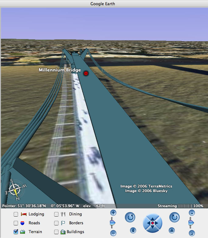
Millennium Bridge

Shikara
ISH
Amsterdam:
Leidseplein
Haarlem Windmill
Apple Inn Hotel
Grocery Store
Waag
(including links "circling the Waag" from projects done by whole class)
The links should all download as .kmz files, which can be opened in Google Earth, which is available for free on Mac, PC, and Linux. Make sure the terrain is turned on (in the check boxes at the bottom), or the models might be floating far above a flat earth. As a mini-explanation of their creation, the models were all built (by me!) in Google SketchUp, a very simple free program that I have been learning how to use this term. The projects the models link to were all created by Joe and I, using digital media and various computer programs to edit and put it together. They will all eventually have some sort of accompanying text explaining why we chose to represent them in the way we did, but for now, here are the files, in approximate order of creation:
New York City:
I-House
El Puerto
Bronx Zoo
NYC Subway
Sambuca
London:
The Eagle and Child
Buckingham Palace
Millennium Bridge

Shikara
ISH
Amsterdam:
Leidseplein
Haarlem Windmill
Apple Inn Hotel
Grocery Store
Waag
(including links "circling the Waag" from projects done by whole class)